
The Importance of Detailed Geological Mapping in Mineral Exploration
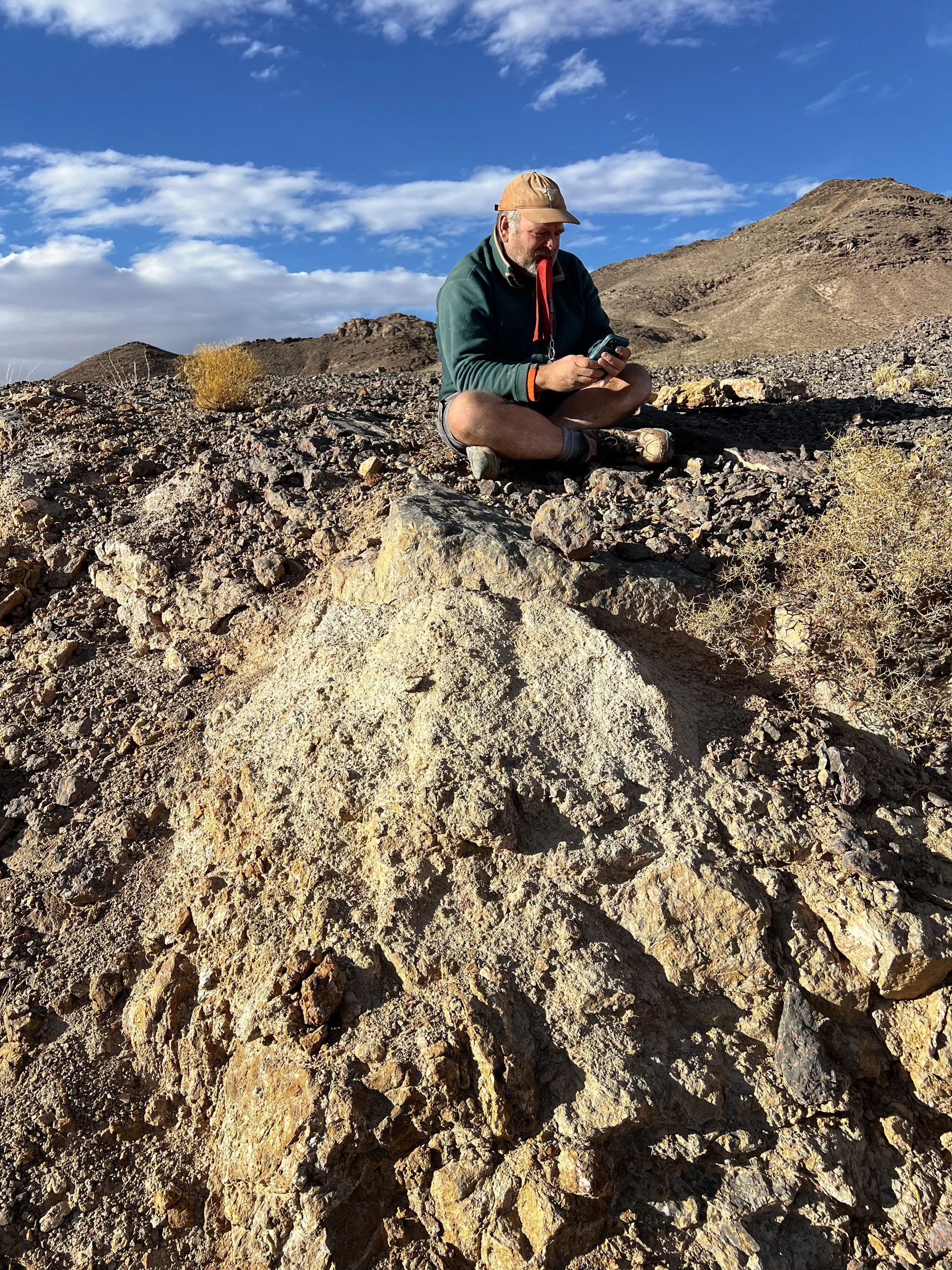
Picture of Dr Dave Malone Mapping on an Unhinged Geology site
Geological mapping is widely recognized as one of the most important tools in mineral exploration because it provides the geological context necessary to interpret geophysical data, geochemical anomalies, and drilling results. Despite advances in geophysics, geochemistry, and remote sensing, detailed field mapping continues to play a critical role in understanding the geological framework that controls mineral deposits. By carefully documenting rock types, structures, alteration patterns, and stratigraphic relationships, geologists can build the foundation needed to guide successful exploration programs.
At its core, geological mapping transforms observations made in the field into a coherent model of how a region’s geology evolved and where mineralization may occur.
Understanding the Geological Framework
The first objective of geological mapping in exploration is to establish the geological framework of a project area. This includes identifying and documenting:
Rock units and lithology
Stratigraphic relationships
Structural features such as faults and folds
Intrusive bodies
Alteration zones
These elements define the architecture of the subsurface and help geologists determine whether the conditions necessary for mineral deposit formation are present.
Without this framework, exploration efforts often rely on incomplete or misleading interpretations.
Identifying Controls on Mineralization
Most mineral deposits are controlled by specific geological features. These may include particular host rocks, structural pathways for fluids, or zones of hydrothermal alteration.
Detailed geological mapping helps identify these controls by revealing:
Faults and fracture systems that may have acted as fluid conduits
Contacts between rock units that concentrate mineralization
Structural traps where mineralizing fluids may accumulate
Alteration halos that form around mineralized zones
Recognizing these relationships allows exploration teams to focus their efforts on the most prospective parts of a property.
Improving Drill Targeting
Drilling is often the most expensive phase of mineral exploration. Poorly constrained drill targets can result in costly programs that fail to test the most prospective geological features.
Geological mapping provides the spatial context necessary to design more effective drilling programs. By integrating mapping results with geochemical and geophysical data, geologists can refine drill targets and improve the probability of intersecting mineralization.
In many cases, careful mapping has revealed structural corridors, favorable stratigraphic horizons, or alteration zones that were not initially apparent from geophysical data alone.
Supporting Geophysical and Geochemical Interpretation
Geophysical and geochemical datasets are powerful exploration tools, but their interpretation depends heavily on geological context.
For example:
A geophysical anomaly may represent a lithological contact, alteration zone, or structure.
Geochemical anomalies may reflect mineralization or simply variations in rock type.
Geological mapping provides the ground truth necessary to interpret these datasets correctly. By linking anomalies to mapped geological features, exploration teams can distinguish meaningful exploration targets from background noise.
Building Reliable Geological Models
Modern exploration increasingly relies on 3D geological modeling and resource estimation. However, these models are only as reliable as the geological data that underpin them.
Detailed mapping contributes critical information that feeds directly into geological models, including:
Stratigraphic thickness and continuity
Structural geometry
Distribution of alteration and mineralization
Surface expressions of subsurface features
Accurate mapping improves the quality of geological models and ultimately leads to more reliable resource evaluations.
Modern Digital Mapping in the Field
While geological mapping has long been a cornerstone of mineral exploration, modern technology has significantly improved how mapping is conducted and recorded. Today, geologists increasingly use digital tools such as tablets, GPS-enabled mapping software, drones, and high-resolution satellite imagery to collect and manage field data.
Digital mapping allows field observations to be recorded directly into geospatial databases, improving both accuracy and efficiency. Geologists can map lithology, structures, and alteration in real time while integrating this information with geophysical data, satellite imagery, and digital elevation models.
At Unhinged Geology, we incorporate these modern tools into our exploration workflows. Field mapping is conducted using tablets equipped with GIS-based mapping software, allowing geological observations to be captured directly in a digital format while in the field. This approach improves data quality and allows exploration teams to quickly integrate field observations into project-scale geological models.
In addition, drones are increasingly used to capture high-resolution aerial imagery and terrain data. Drone surveys can produce detailed orthomosaic maps and elevation models that help geologists identify structural features, alteration patterns, and outcrop relationships that may not be visible from ground level.
By combining traditional field observations with modern digital tools, exploration teams can develop more accurate geological interpretations and significantly improve exploration targeting.
Field Observations Still Matter
Although remote sensing and digital mapping technologies have expanded the tools available to geologists, direct field observations remain irreplaceable. Observing rocks in outcrop, identifying subtle alteration patterns, and documenting structural relationships often reveal details that cannot be detected through remote methods alone.
Experienced field geologists can recognize geological patterns that guide exploration decisions long before drilling begins.
The Foundation of Successful Exploration
Nearly every major mineral discovery begins with a strong understanding of the geological environment. Detailed geological mapping provides that foundation by connecting individual observations into a larger geological story.
By defining the geological framework, identifying mineralization controls, and guiding exploration targeting, geological mapping remains one of the most valuable and cost-effective tools available to exploration teams.
Even in an era of advanced exploration technologies, the insights gained from careful field mapping continue to play a central role in the discovery of new mineral resources.
Sources and Further Reading
Moon, C., Whateley, M., & Evans, A. (2006). Introduction to Mineral Exploration. Wiley-Blackwell.
Marjoribanks, R. (2010). Geological Methods in Mineral Exploration and Mining. Springer.
Guilbert, J.M., & Park, C.F. (2007). The Geology of Ore Deposits. Waveland Press.
United States Geological Survey (USGS). Mineral Deposit Models and Exploration Methods.
https://pubs.usgs.gov
Nevada Bureau of Mines and Geology (NBMG). Geological Mapping and Mineral Resources of Nevada.
https://nbmg.unr.edu
Society of Economic Geologists (SEG). Exploration and Economic Geology Resources.
https://segweb.org